Utility Locating & Mapping Services Across Ohio
Protect your project with reliable Private Utility Detection, Utility Line Marking, GPR Scanning, Concrete Scanning, Underground Utility Mapping, and GPS/GIS Mapping services throughout Ohio.
ABOUT US
Reliable
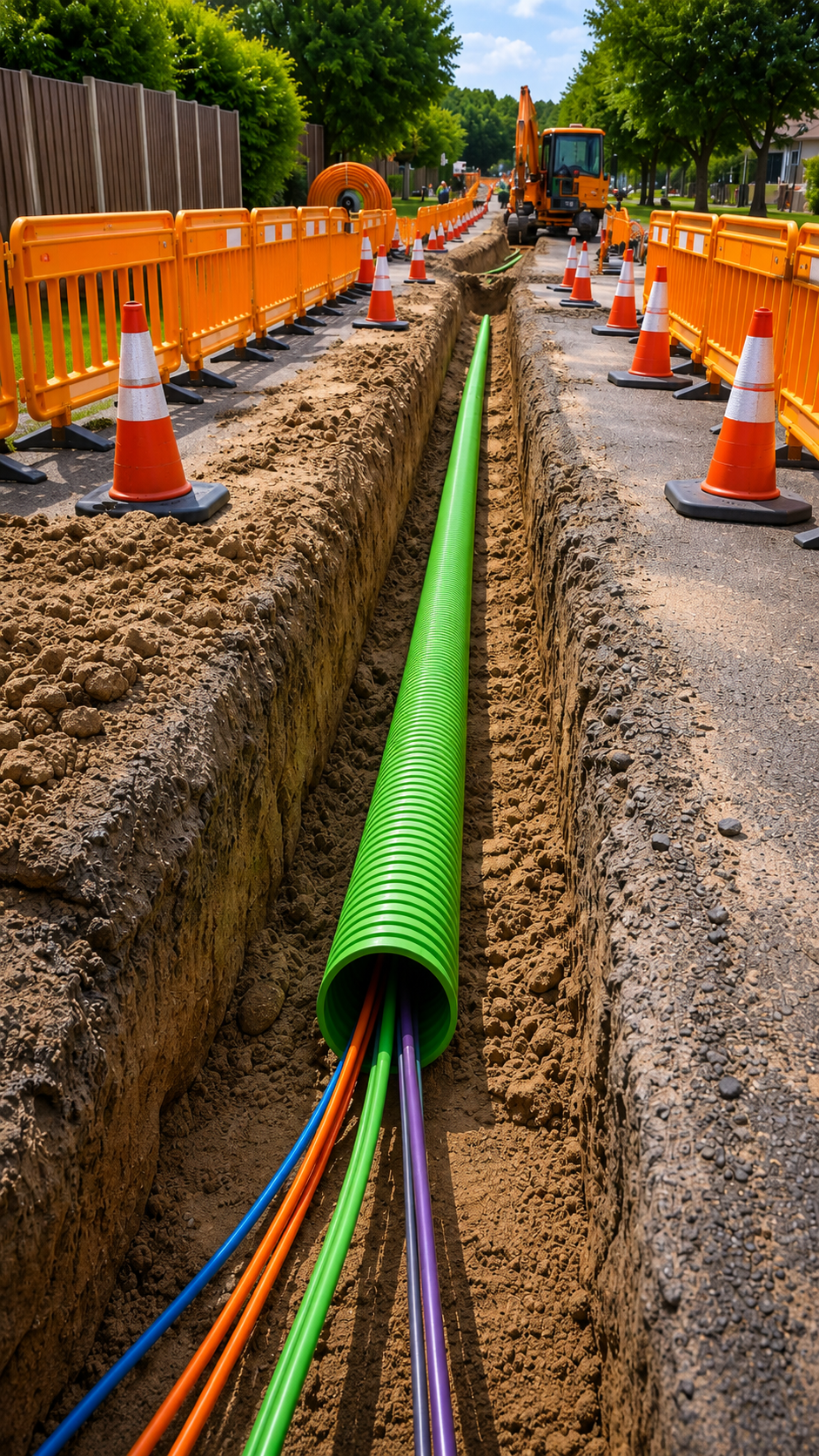
At Utility Locating & Mapping Ohio, we provide professional underground utility locating and mapping services for contractors, property owners, engineers, developers, municipalities, and construction professionals throughout Ohio. Our goal is to provide accurate subsurface information before excavation, drilling, trenching, or other ground-disturbing work begins. Using modern locating technologies and field-proven methods, we help clients better understand what is beneath their project site.
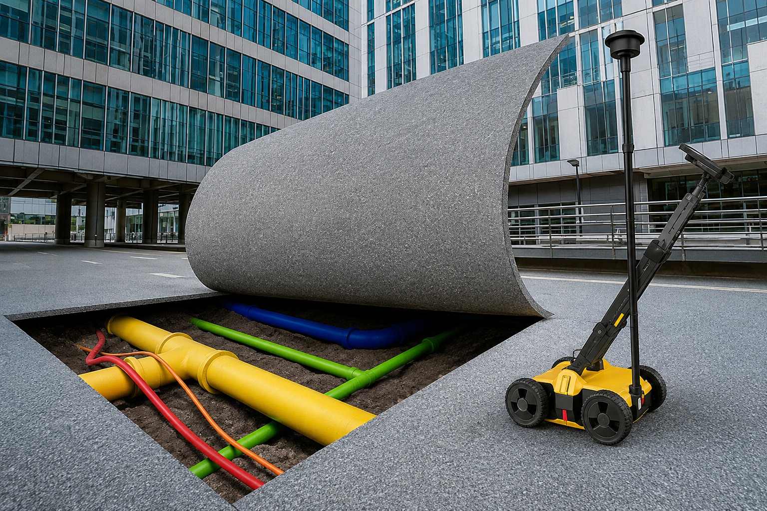
Our services include Private Utility Detection, Utility Line Identification & Marking, Ground Penetrating Radar (GPR) Scanning, Concrete Scanning, Underground Utility Detection & Mapping, and GPS & GIS Utility Mapping. Depending on project requirements and site conditions, these services can help identify underground utility lines, conduits, pipes, rebar, post-tension cables, voids, and other subsurface features. Our detailed approach helps improve project planning, excavation safety, utility awareness, and construction efficiency.
We understand that every property and construction site presents different challenges. That is why we focus on delivering reliable, detailed, and professional utility locating solutions tailored to each project. Whether you are planning a small excavation or a large commercial development, Utility Locating & Mapping Ohio is committed to helping you identify potential underground conflicts and make informed decisions. Our Ohio utility locating and mapping services are designed to support safer projects, reduce unnecessary disruptions, and provide valuable underground infrastructure information.
Our Services
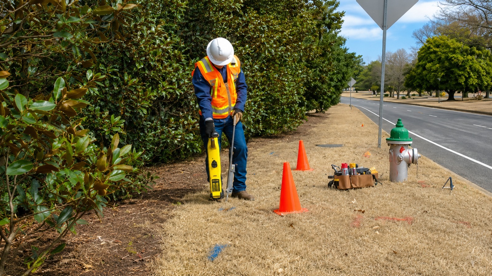
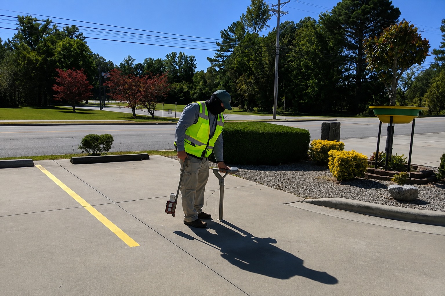
Locate privately owned underground utilities with precision before excavation, construction, or landscaping. Our detection services help identify hidden lines and reduce the risk of costly damage.
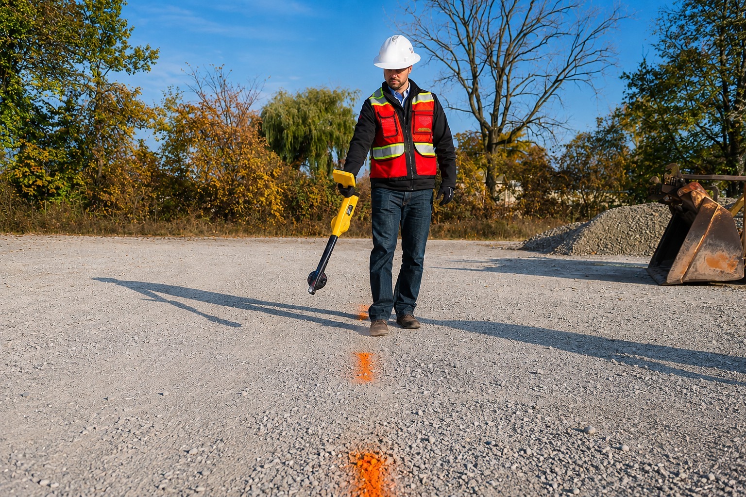
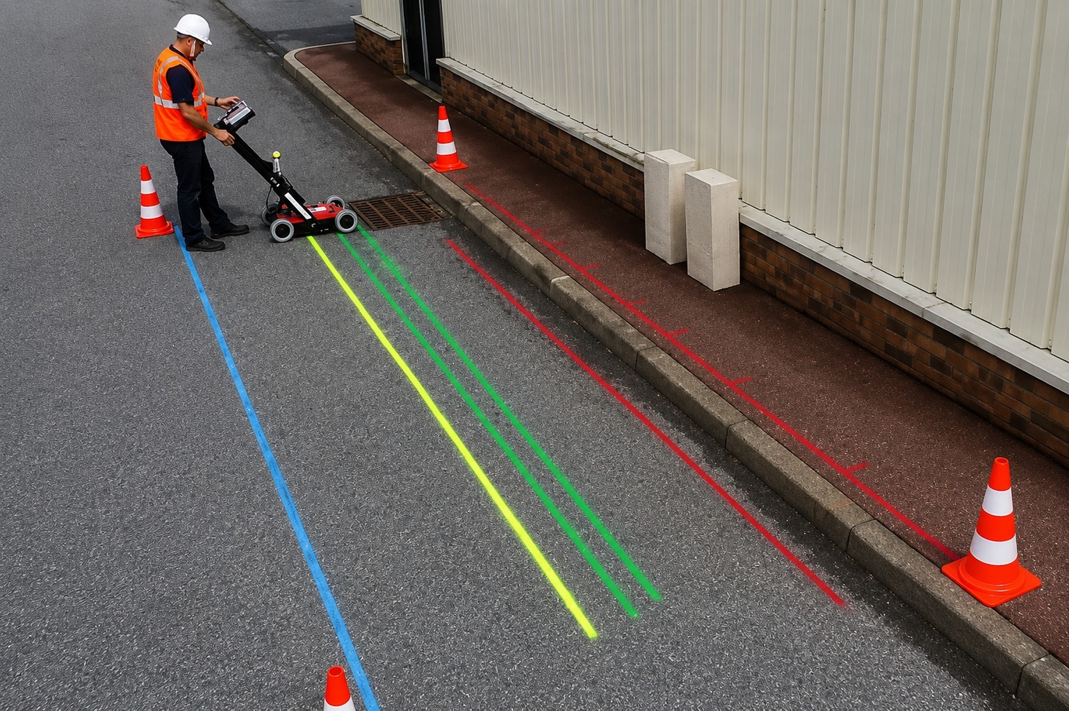
Accurately identify and mark underground utility lines before work begins. Clear field markings help crews understand utility locations and work safely around existing infrastructure.
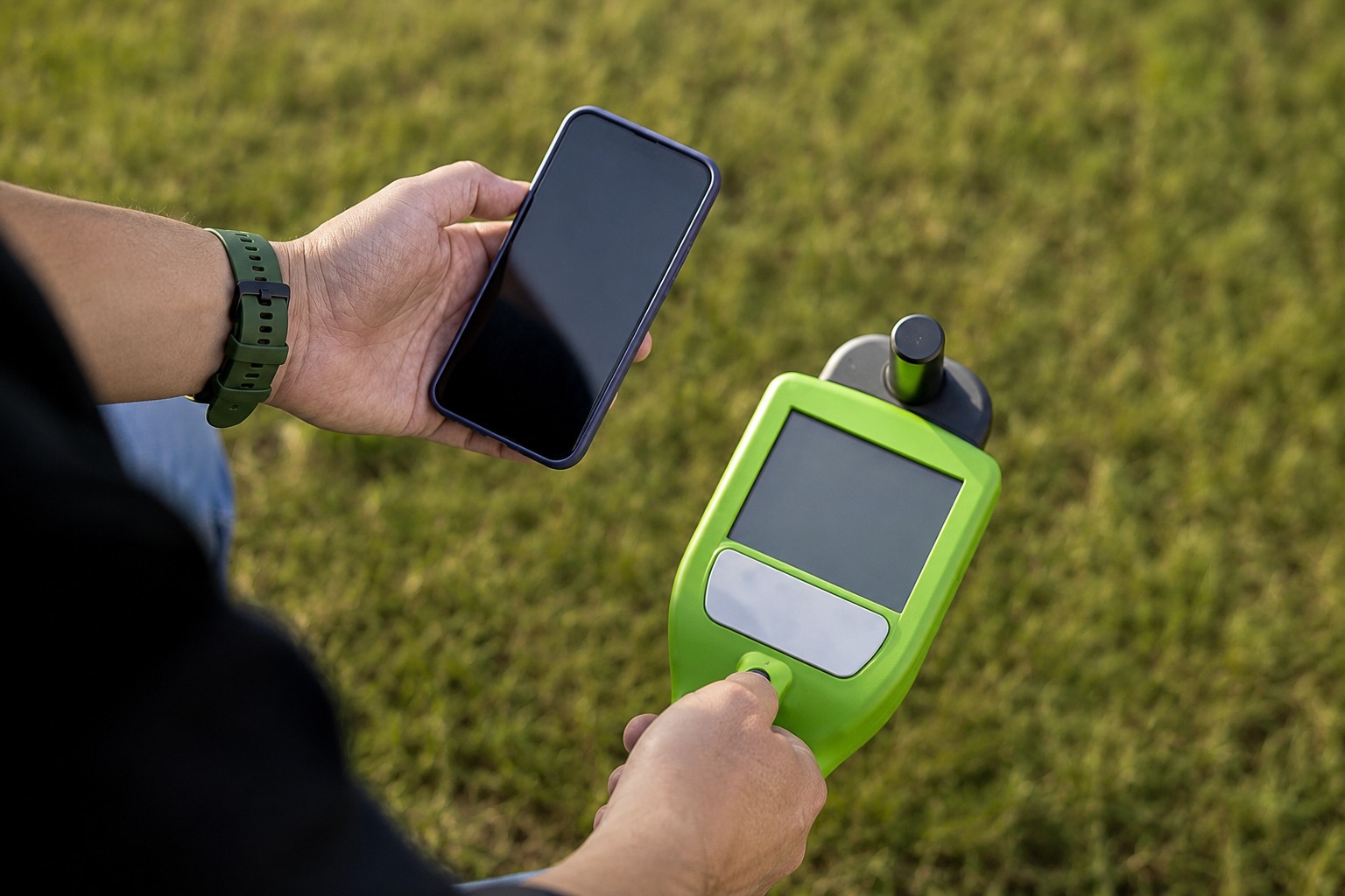
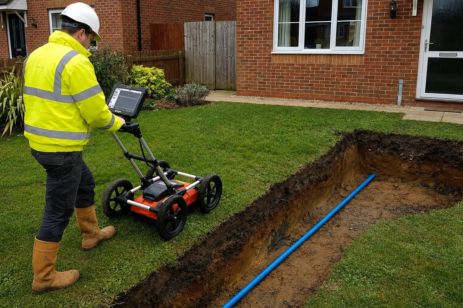
Use advanced Ground Penetrating Radar technology to detect subsurface utilities, structures, voids, and other hidden features without unnecessary excavation or surface disruption.
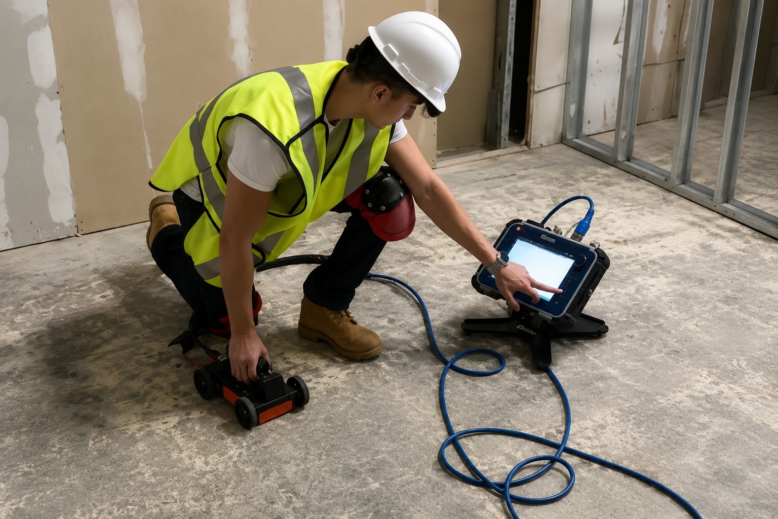
Identify embedded pipes, conduits, rebar, and post-tension cables within concrete before drilling, cutting, or coring. Our scanning helps prevent structural damage and improve job-site safety.
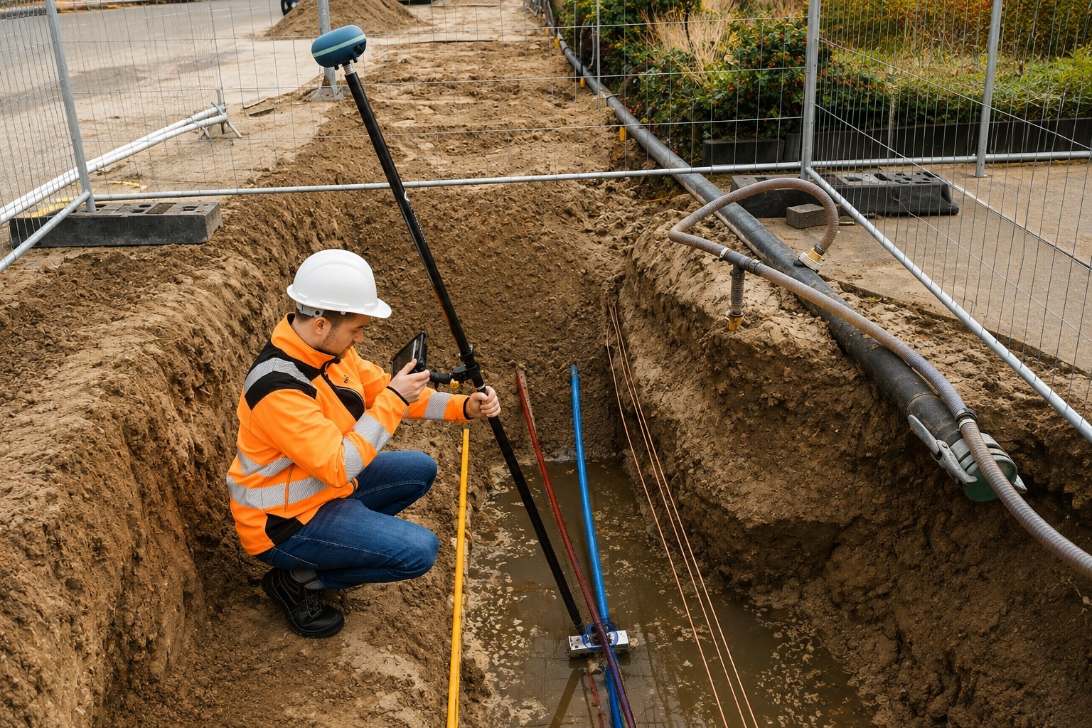
Create accurate maps of underground utility infrastructure to support planning, excavation, and construction. We help reveal utility locations and improve project coordination and decision-making.
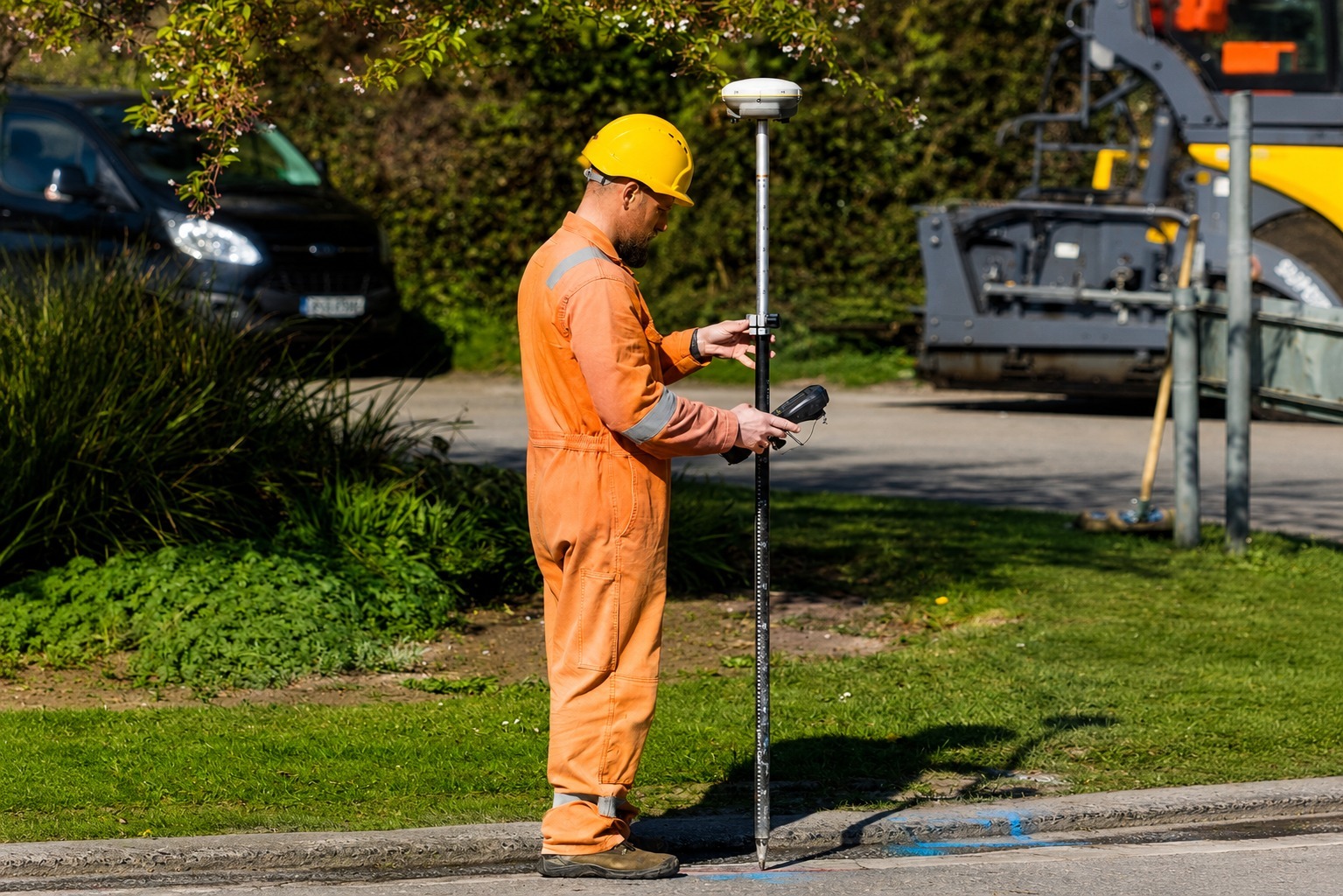
Capture and organize precise utility locations using GPS and GIS technology. Our digital mapping solutions provide reliable infrastructure data for planning, asset management, and future projects.
The Process
Our Simple 3 Step Process

Contact Us
Start by completing the 'Get a Free Quote' form on our website to share your needs with us so we can take care of you.

Schedule Your Estimate
Next, we'll arrange a property visit at a time that works for you to provide an in-person estimate for your needs.

Get The Job Done
After you approve our estimate, we'll schedule a date to complete the job. Our team will work hard to exceed your expectations!
photo gallery
See Why Our Customers Love Us


Our Service Area?
Columbus
Cleveland
Cincinnati
Toledo
Akron
Dayton
Parma
Canton
Youngstown
Lorain
Hamilton
Springfield
Kettering
Euclid
Middletown
Mansfield
Cuyahoga Falls
Beavercreek
Lakewood
Dublin
Elyria
Mentor
Fairfield
Grove City
Huber Heights
Delaware
Westerville
Reynoldsburg
Upper Arlington
Gahanna
Brunswick
Findlay
Strongsville
Fairborn
Lancaster
Warren
Lima
Marion
Stow
Massillon
Bowling Green
North Royalton
North Olmsted
Mason
Shaker Heights
Troy
Green
Centerville
Zanesville
Hudson
Wooster
Avon Lake
Marysville
Trotwood
Xenia
Oxford
Solon
Chardon
Ashtabula
Sandusky
Our Reviews
What Our Customers Have to Say About Us!
Very professional and thorough utility locating service. They accurately identified the underground lines before our excavation work and provided clear markings. The entire process was smooth and efficient.

We used their GPR and utility mapping services for a construction project. The team was knowledgeable, responsive, and precise. Their detailed information helped our crew avoid potential utility conflicts.
Excellent service from start to finish. They located several private utilities that weren’t shown on our existing plans and clearly marked everything on site. Highly recommend them for utility locating and mapping.
FREQUENTLY ASKED QUESTIONS
What is Private Utility Detection?
Private Utility Detection identifies underground utilities on private property that may not be covered by standard public utility locating services, helping reduce the risk of damage during excavation.
When should I schedule utility locating services?
Utility locating should be completed before excavation, drilling, trenching, or other ground-disturbing work to identify underground utilities and potential conflicts.
What is Ground Penetrating Radar (GPR) Scanning?
GPR scanning uses radar technology to detect subsurface features such as underground utilities, concrete structures, voids, and other buried objects without excavation.
Why is Concrete Scanning important?
Concrete scanning helps locate embedded rebar, conduits, pipes, and post-tension cables before drilling, cutting, or coring, helping prevent damage and improve job-site safety.
What is GPS & GIS Utility Mapping?
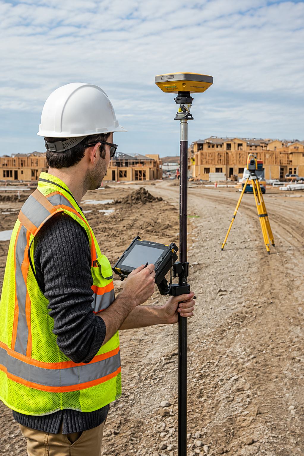
GPS & GIS Utility Mapping uses precise positioning and digital mapping technology to document underground utility locations, providing useful data for construction planning and infrastructure management.
Request A Free Quote
BUSINESS
SERVICES
SERVICE AREAS
OPERATING HOURS
Sun: Closed
Mon: 7:00am - 7:00pm
Tue: 7:00am - 7:00pm
Wed: 7:00am - 7:00pm
Thu: 7:00am - 7:00pm
Fri: 7:00am - 7:00pm
Sat: 7:00am - 7:00pm